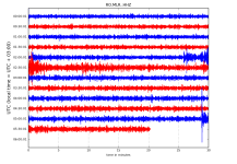
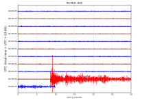
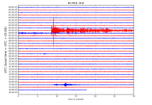
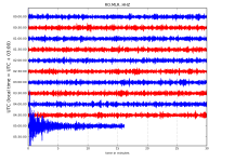
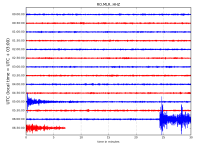
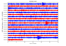
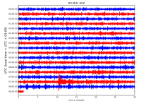
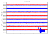
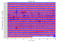
Magnitude mb 5.5
Region INDIAN OCEAN TRIPLE JUNCTION
Date time 2018-09-28 06:21:54.4 UTC
Location 26.52 S ; 67.59 E
Depth 10 km
Distances 1248 km SE of Port Louis, Mauritius / pop: 156,000 / local time: 10:21:54.4 2018-09-28
1386 km SE of Saint-Denis, Reunion / pop: 138,000 / local time: 10:21:54.4 2018-09-28
2222 km SE of Antananarivo, Madagascar / pop: 1,392,000 / local time: 09:21:54.4 2018-09-28
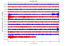
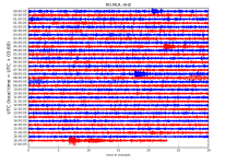
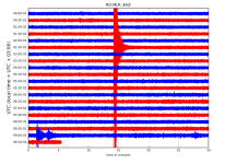
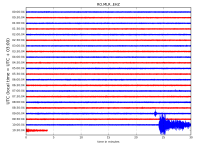
Magnitude Mw 6.1
Region MINAHASA, SULAWESI, INDONESIA
Date time 2018-09-28 07:00:02.1 UTC
Location 0.37 S ; 119.77 E
Depth 21 km
Distances 529 km N of Makassar, Indonesia / pop: 1,322,000 / local time: 15:00:02.1 2018-09-28
59 km N of Palu, Indonesia / pop: 283,000 / local time: 15:00:02.1 2018-09-28
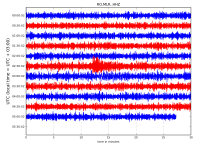
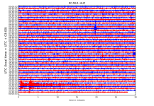
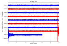
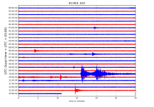
Magnitude mb 5.6
Region INDIAN OCEAN TRIPLE JUNCTION
Date time 2018-09-28 07:06:39.1 UTC
Location 26.53 S ; 67.61 E
Depth 10 km
Distances 1251 km SE of Port Louis, Mauritius / pop: 156,000 / local time: 11:06:39.1 2018-09-28
1388 km SE of Saint-Denis, Reunion / pop: 138,000 / local time: 11:06:39.1 2018-09-28
2224 km SE of Antananarivo, Madagascar / pop: 1,392,000 / local time: 10:06:39.1 2018-09-28
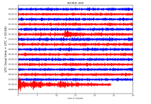
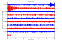
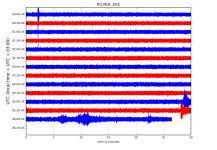
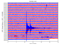
Magnitude Mw 7.5
Region MINAHASA, SULAWESI, INDONESIA
Date time 2018-09-28 10:02:43.6 UTC
Location 0.20 S ; 119.88 E
Depth 10 km
Distances 549 km N of Makassar, Indonesia / pop: 1,322,000 / local time: 18:02:43.6 2018-09-28
76 km N of Palu, Indonesia / pop: 283,000 / local time: 18:02:43.6 2018-09-28
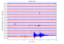 http://helitool.infp.ro/